
Caddo Lake, Uncertain TX
Page created 6-July-2014
Photos taken 5-July-2014
Caddo Lake is on the Texas-Louisiana border. The lake has swamp-like areas and is the kind of scenery you find throughout much of Louisiana, especially south Louisiana. These photos are from the Texas side of the lake.
I rented a canoe at Crips Camp and proceeded into the lake.
Some observations
- The lake definitely has some classic swamp and wetlands scenery.
- The narrow passages and areas with dense foliage were most interesting to me (as opposed to open water areas).
- The map available for purchase is very good. Below is a screenshot.
- I've heard about Caddo Lake since I was a kid growing up in Houston, and it was nice to finally see it for myself.
- Canoes should avoid the main powerboat route on Big Cypress Bayou due to the wakes and speeding boats
- Starting at Crips Camp requires the canoe to cross through Goose Prairie before reaching the main lake. Crips Camp folks were friendly and the rental price was low, but if you want to minimize canoeing, start at Johnsons Ranch.
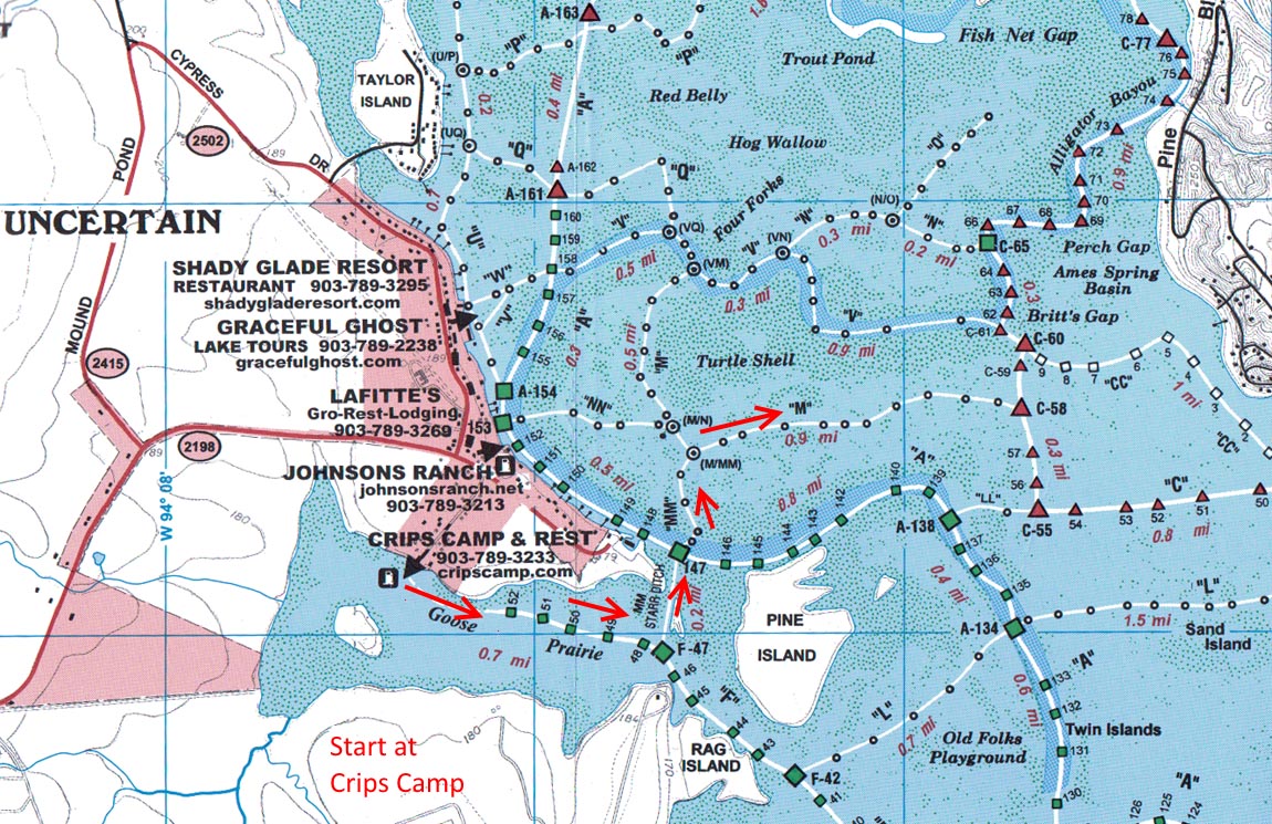
This shows the route for the photos. The starting point was at Crips Camp and I proceeded through the Starr Ditch, across Big Cypress Bayou and into the main swamp area.
(5-July-2014)
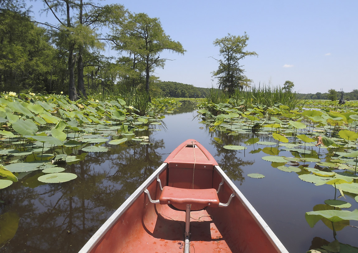
Just after leaving Crips Camp, this is in the Goose Prairie area.
(5-July-2014)
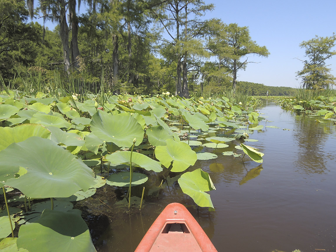
Large-leaf plants on the route.
(5-July-2014)
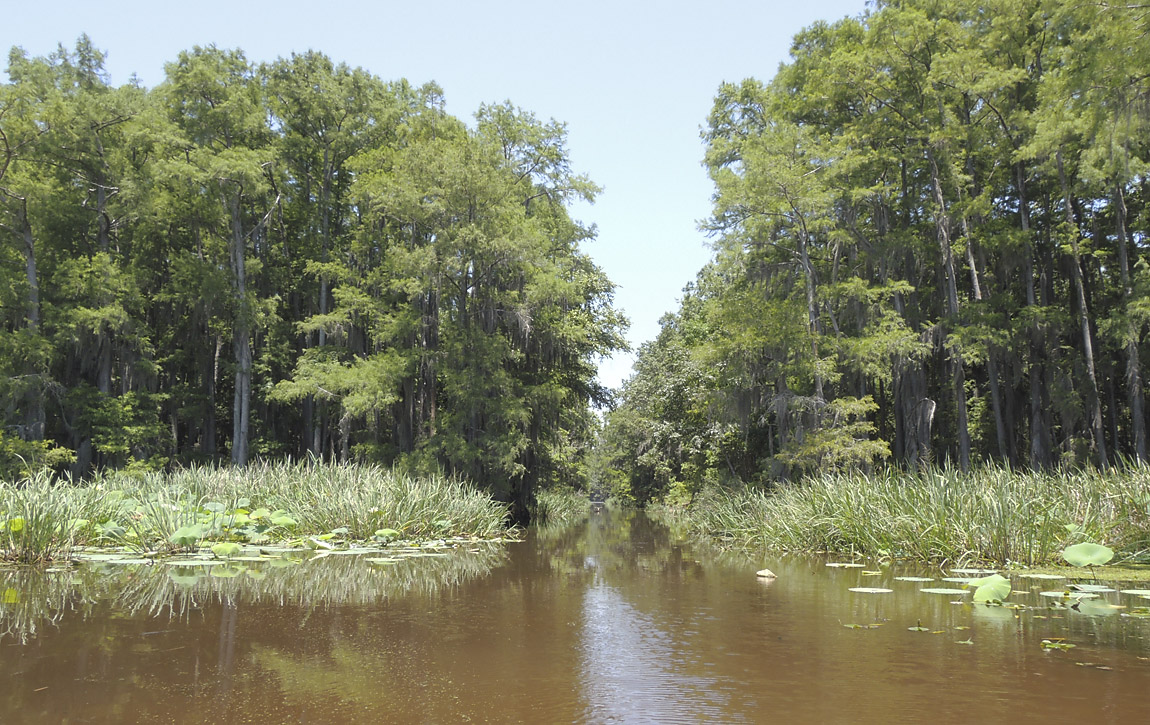
This is the entrance to Starr Ditch, a narrow passage that connects to Big Cypress Bayou.
(5-July-2014)
Proceeding through Starr Ditch
(5-July-2014)
Starr Ditch
(5-July-2014)
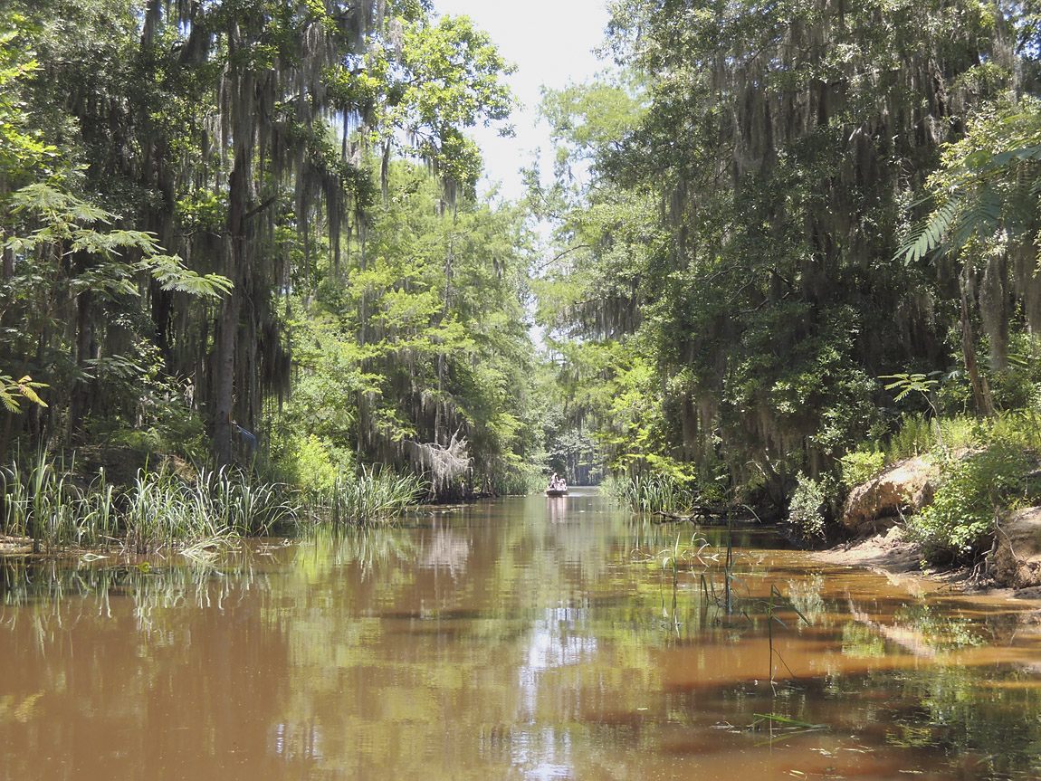
This is Big Cypress Bayou, which is a wide waterway with a lot of powerboat traffic. I crossed the bayou to get to the MM connector.
(5-July-2014)
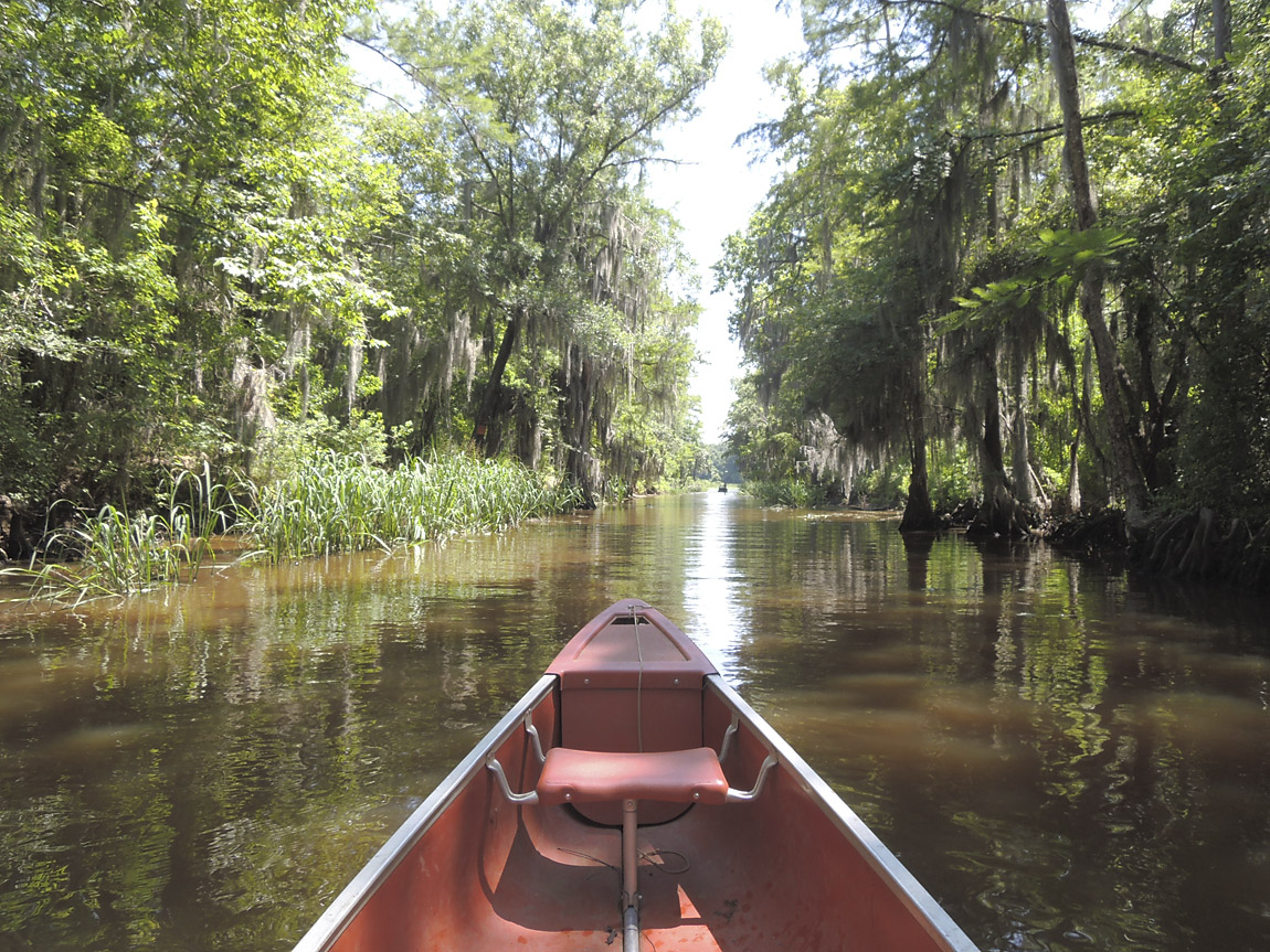
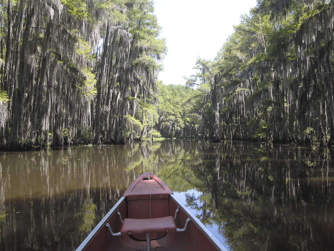
The MM connector is a very nice passage lined with cypress trees and plenty of Spanish moss.
(5-July-2014)
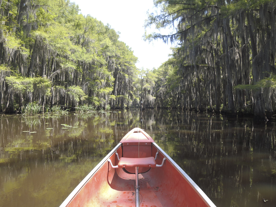
MM connector
(5-July-2014)
MM connector
(5-July-2014)
At the end of the MM connector is an area with open water.
(5-July-2014)
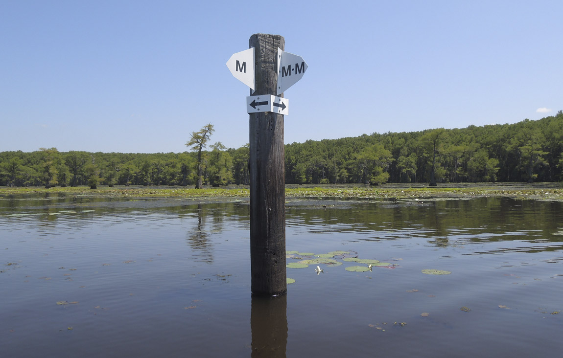
The paddle trails are well-marked with these pylons. This is at the intersection of the MM trail and the M trail. I continued on the M trail.
(5-July-2014)
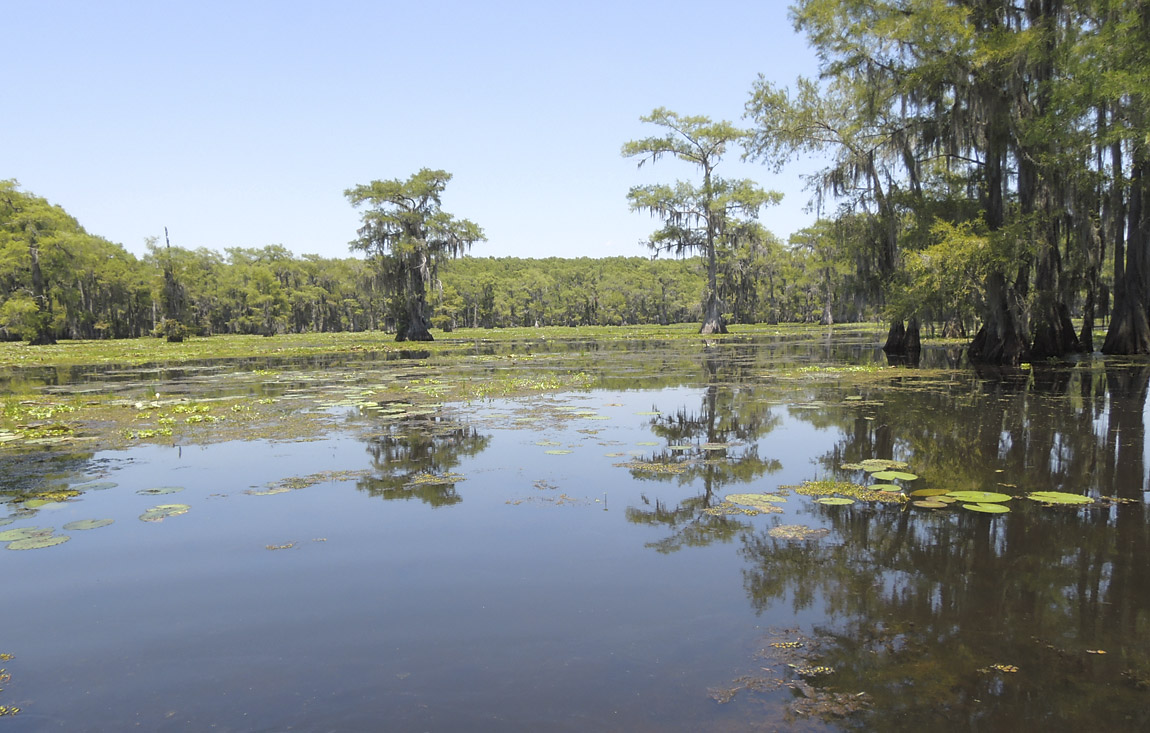
Open water near the M/MM marker.
(5-July-2014)
View along the M trail
(5-July-2014)
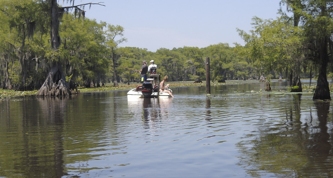
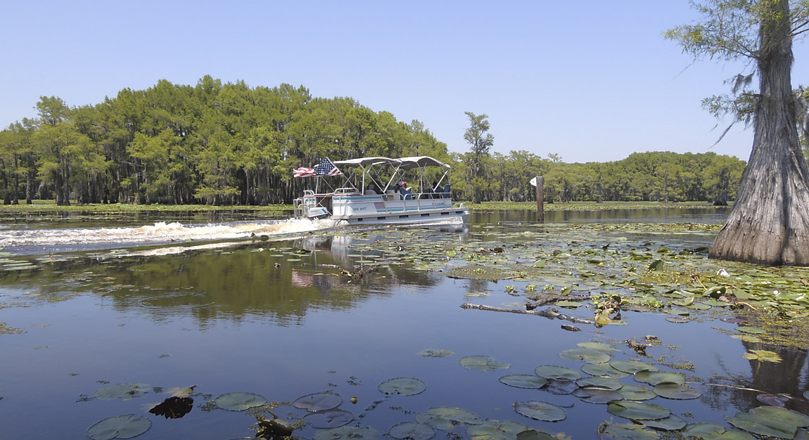
A boat cruising on the M trail
(5-July-2014)
View along the M trail
(5-July-2014)
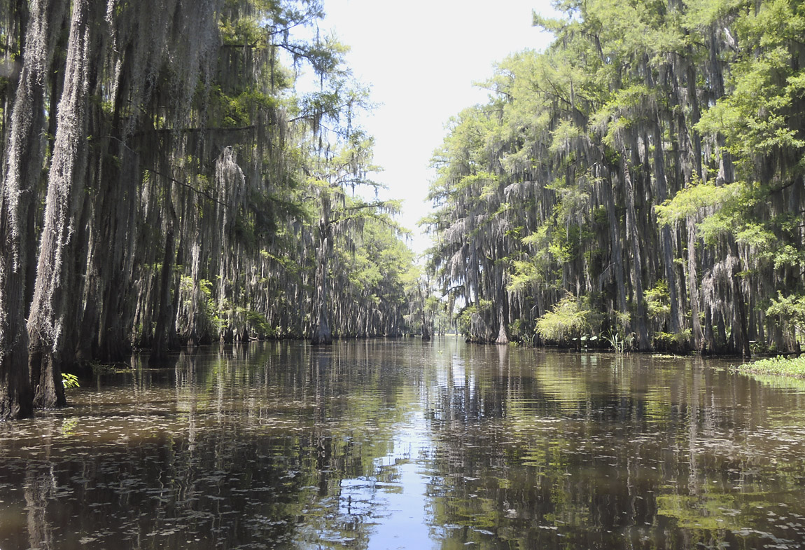
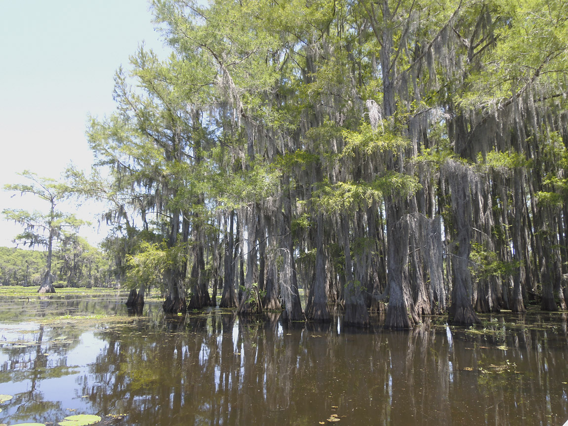
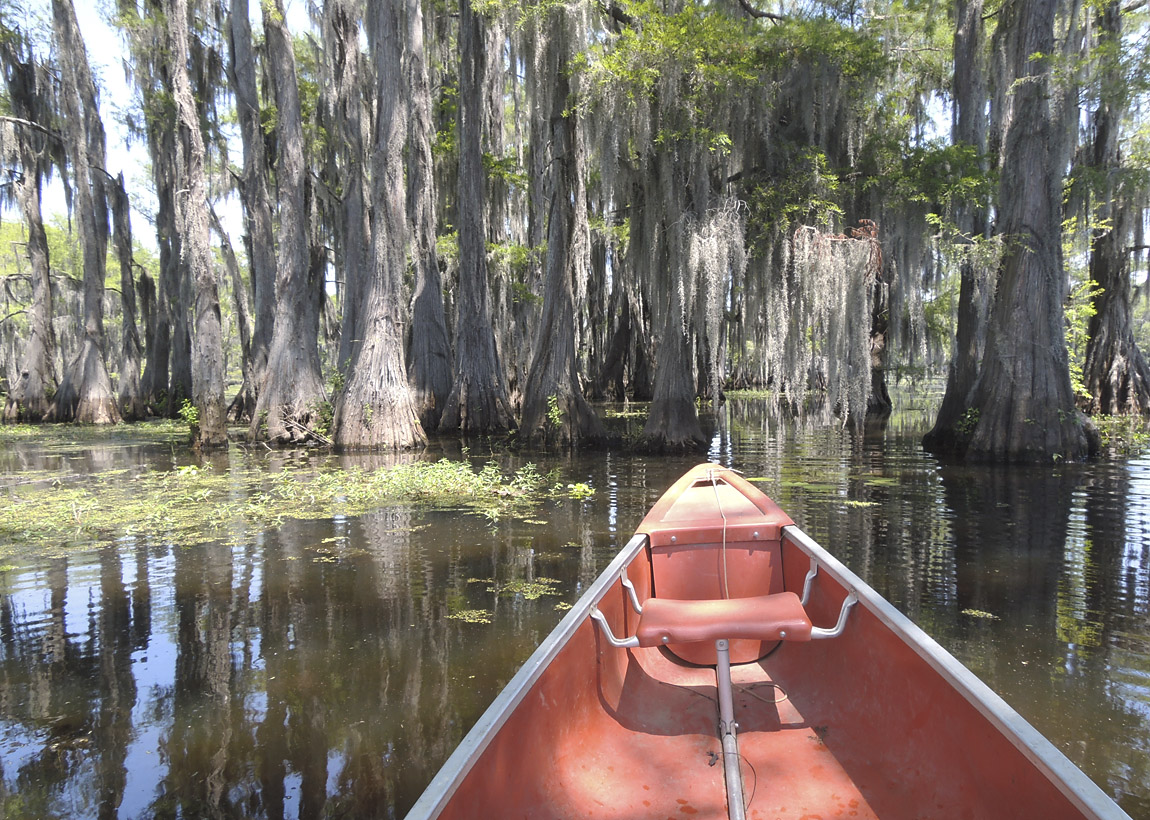
Trees with moss along the M trail
(5-July-2014)
Near the M trail
(5-July-2014)
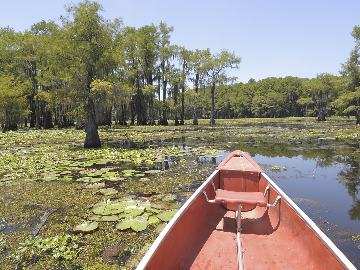
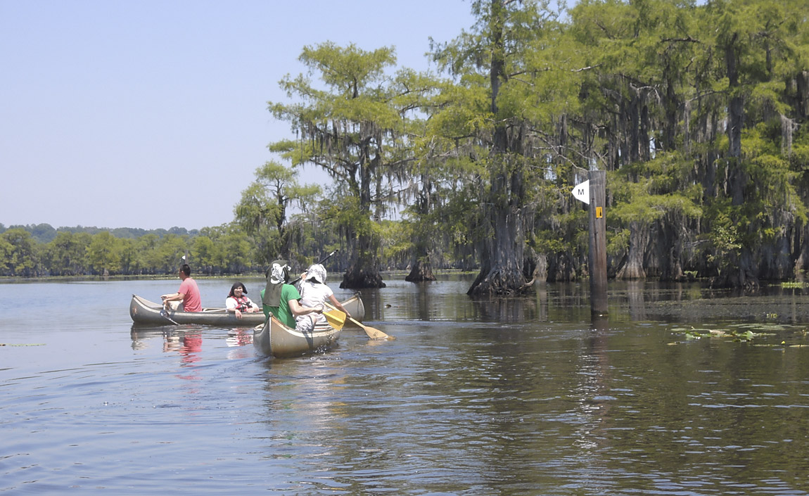
Canoes along the M trail
(5-July-2014)
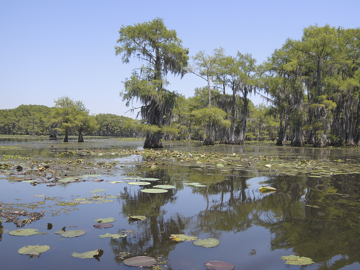
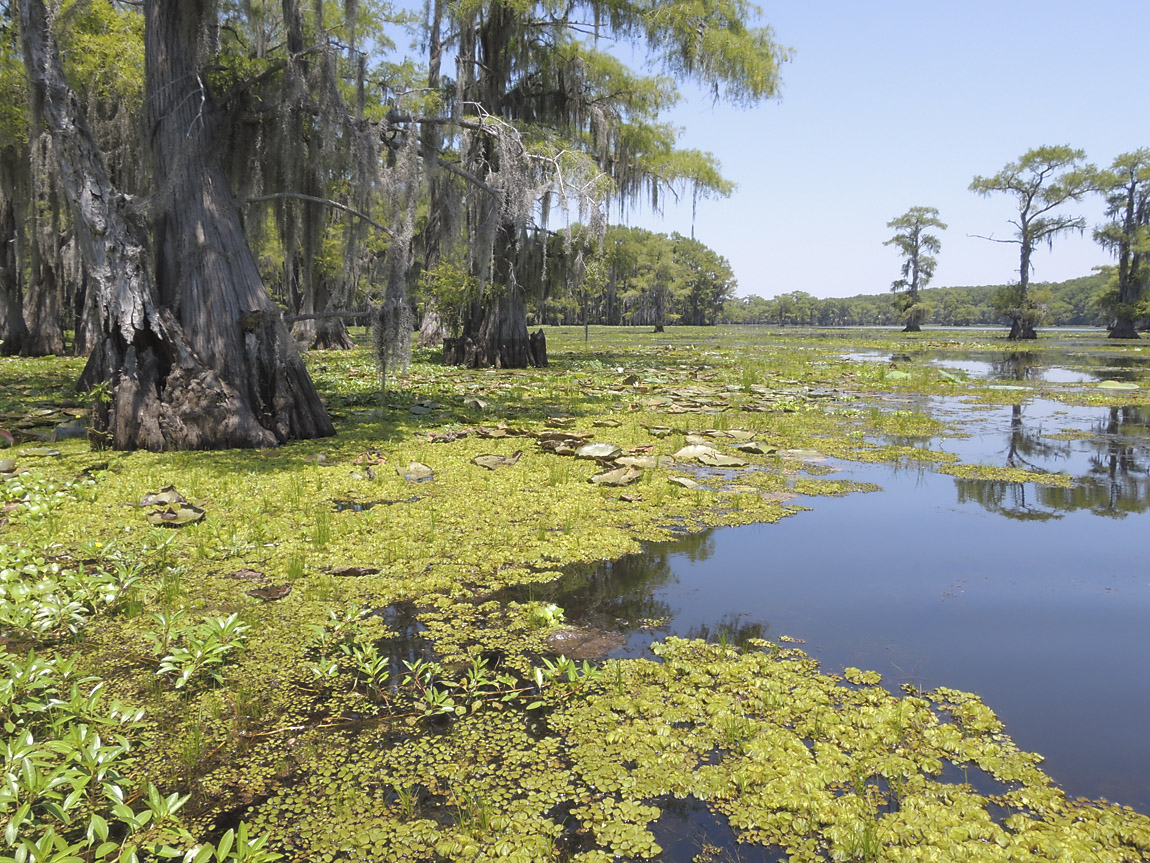
Lilies near the M trail
(5-July-2014)
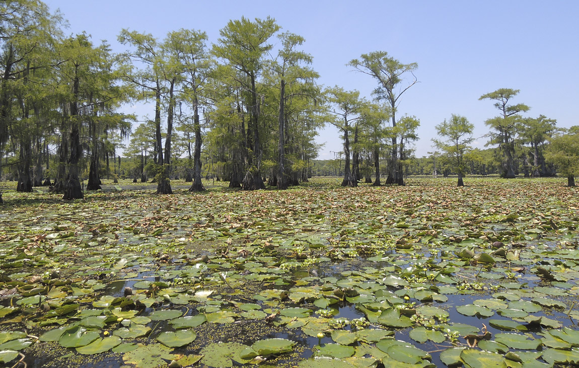
Cypress trees near the M trail