May 27, 2006
Last updated June 2, 2006
Photos taken May 27, 2006.
Caprock Canyons is probably the easternmost location in the United States where you can find classic western landscapes of eroded rock
and canyon. (Parts of the Black Hills in South Dakota are at a comparable longitude).
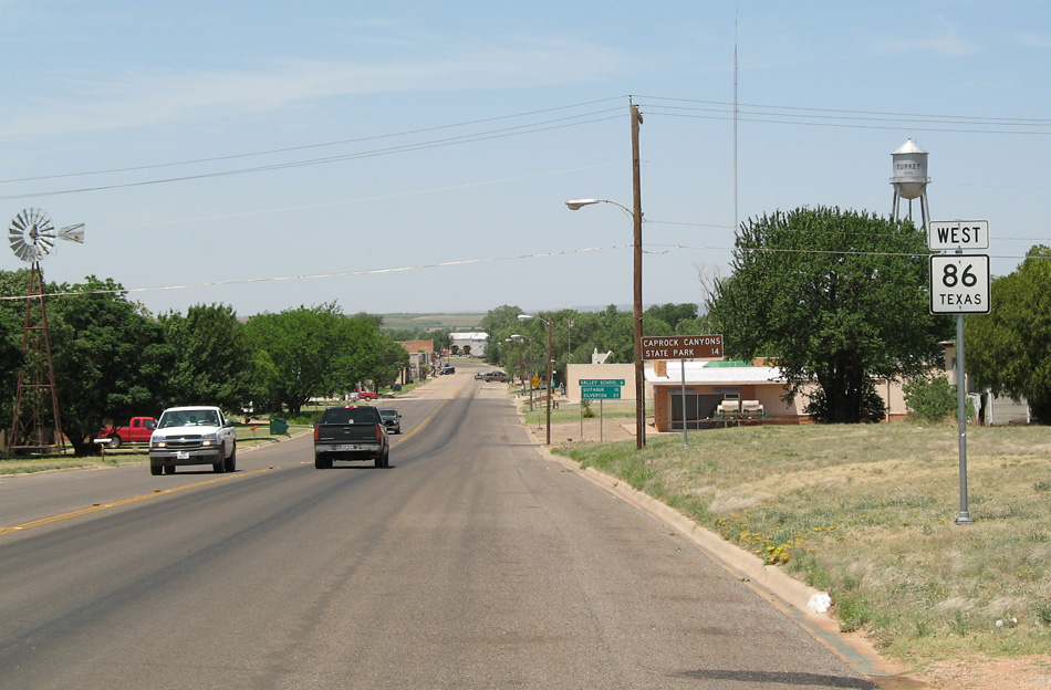
I approached from the east on highway 86. This is the nearby town of Turkey.
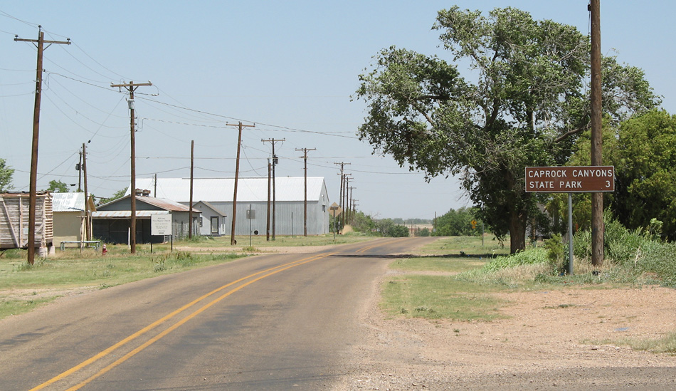
After turning off highway 86, this is the access road to the park.
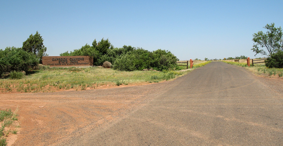
This is the park entrance.
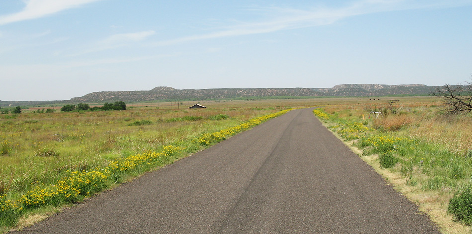
After entering the park, the road crosses through a prairie area. There is a bison herd in the park, but I did not see it.
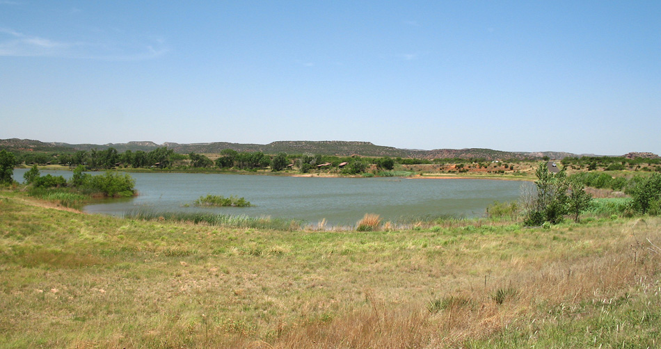
The park lake. You can't expect much in an arid area.
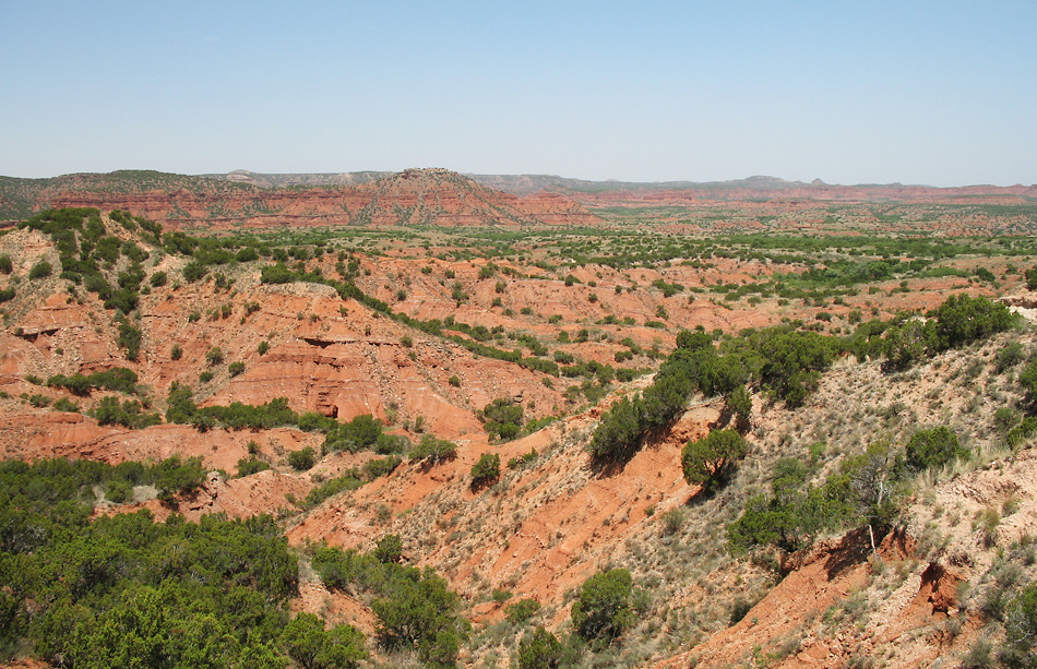
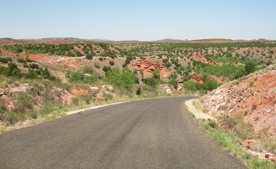
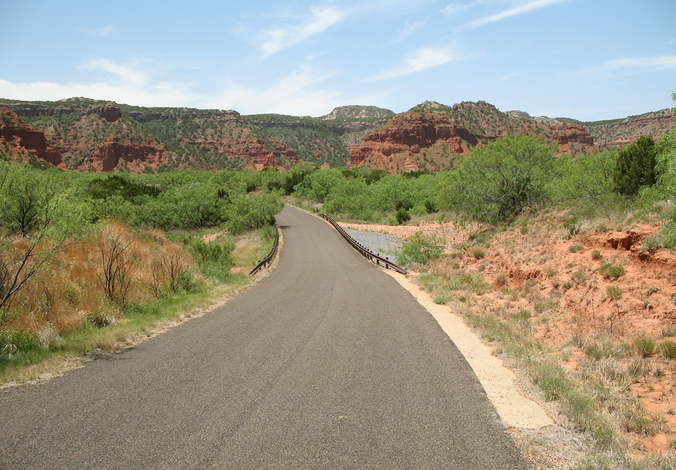
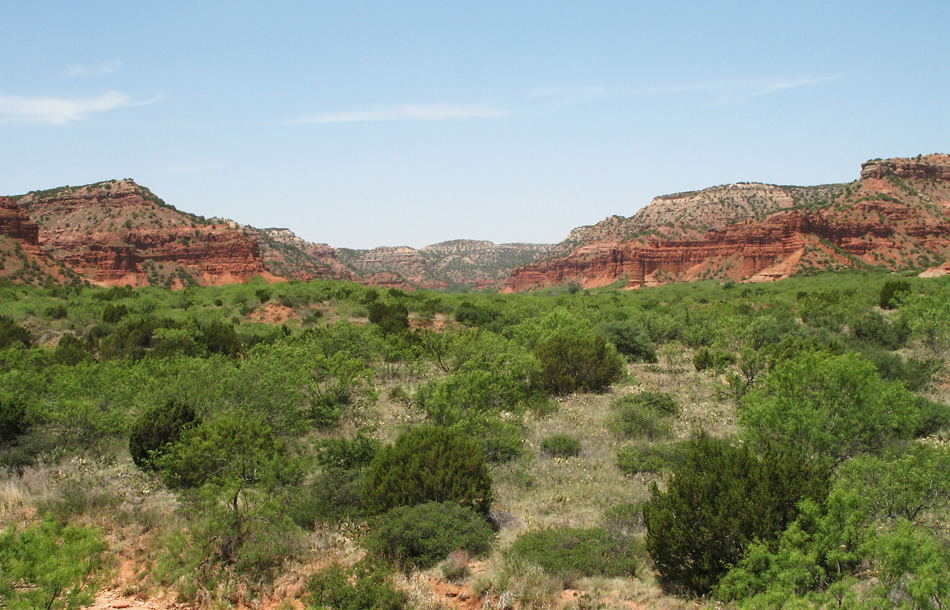
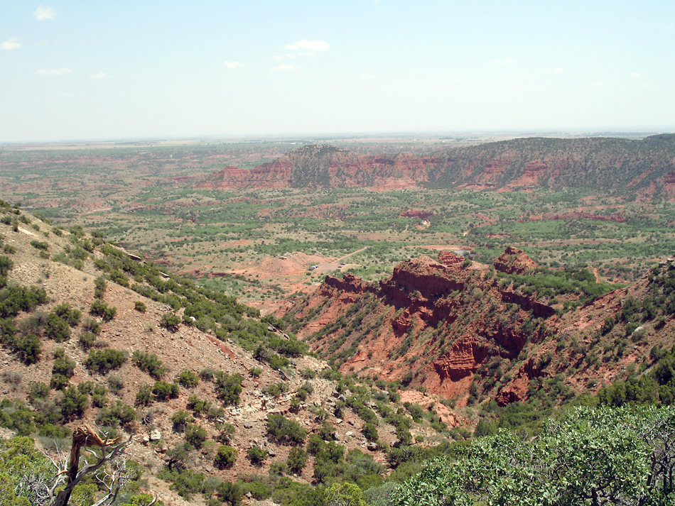
Now we enter the canyon area. This is the view from the first observation point.
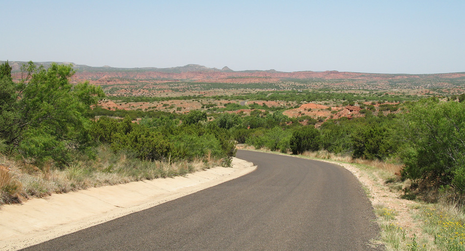
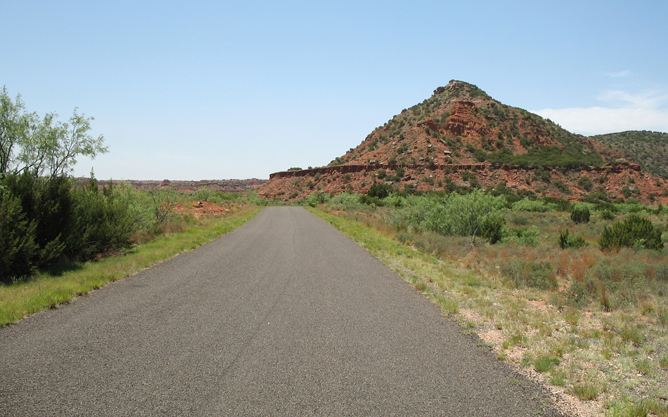
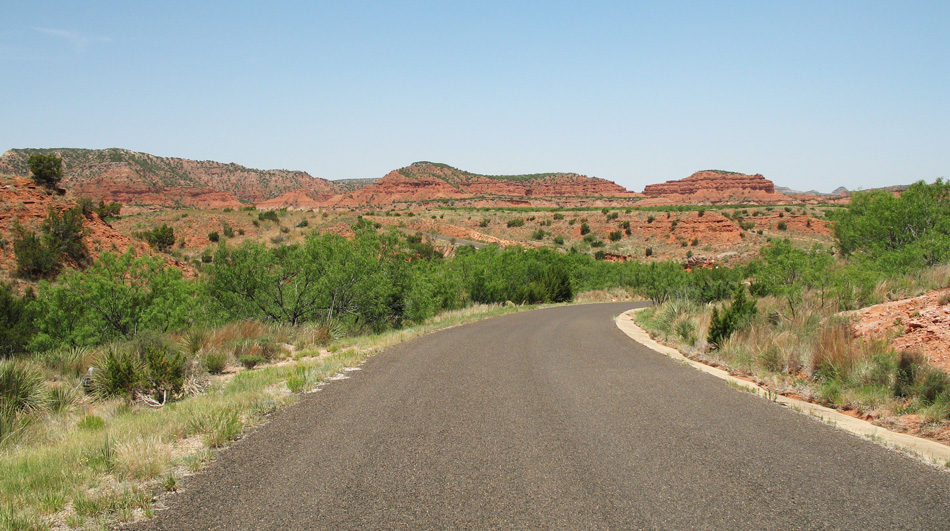
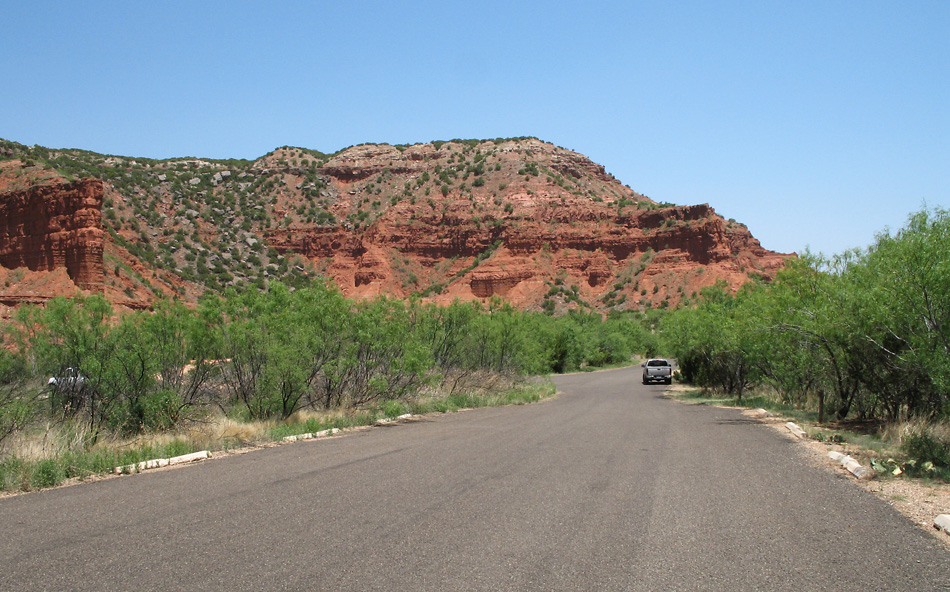
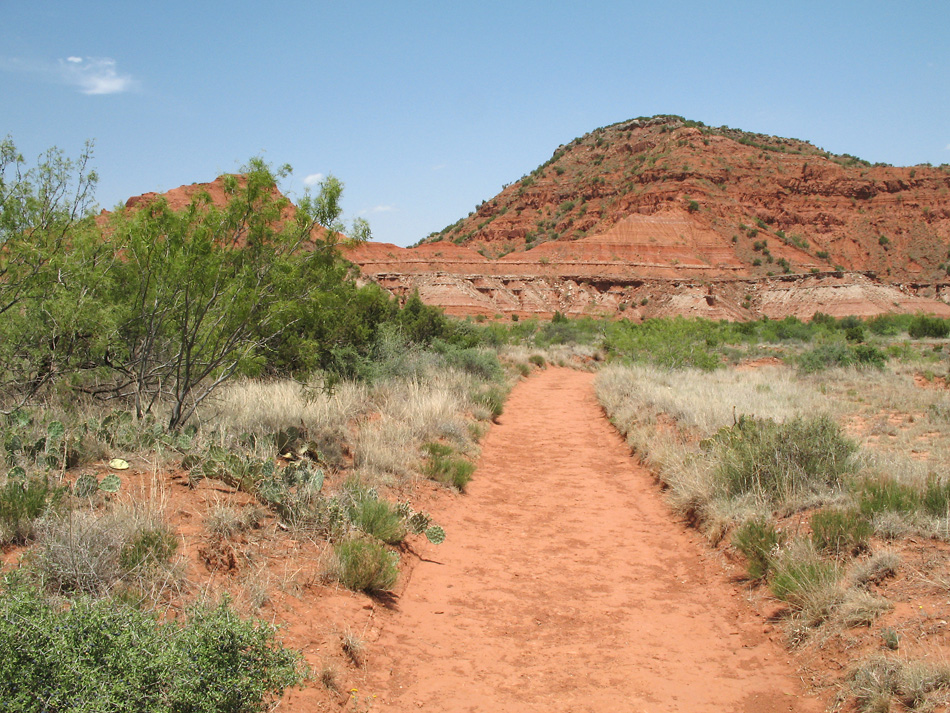
A view along the park road.
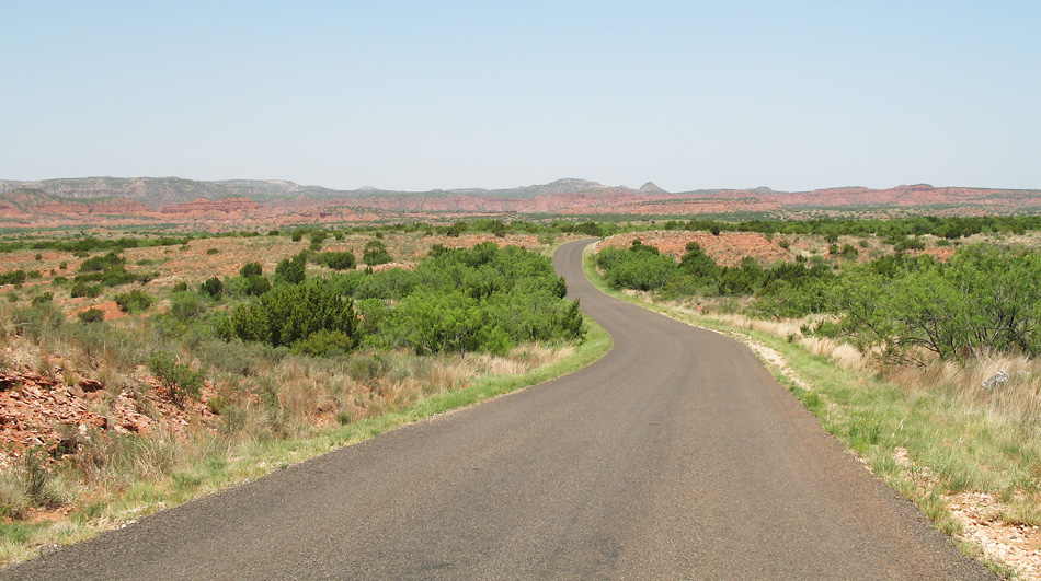
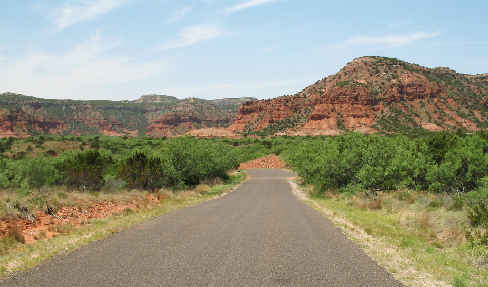
On the park road.
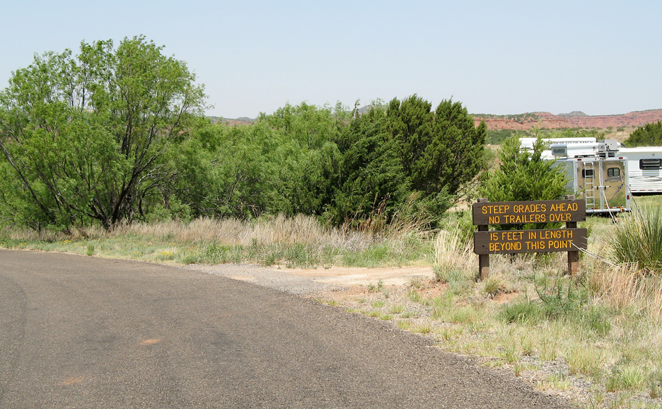
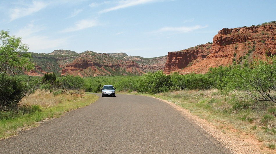
Ahead the road gets steeper. It really wasn't very steep, in my opinion.
This is the area where the park road ends. There are some camp sites and trail heads here.
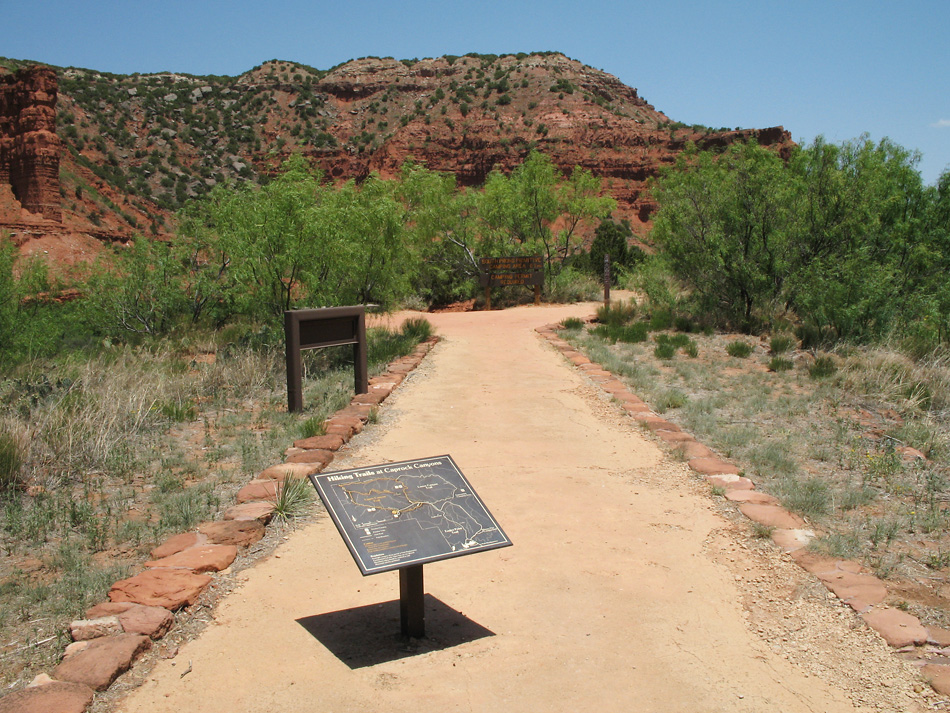
Trail head.
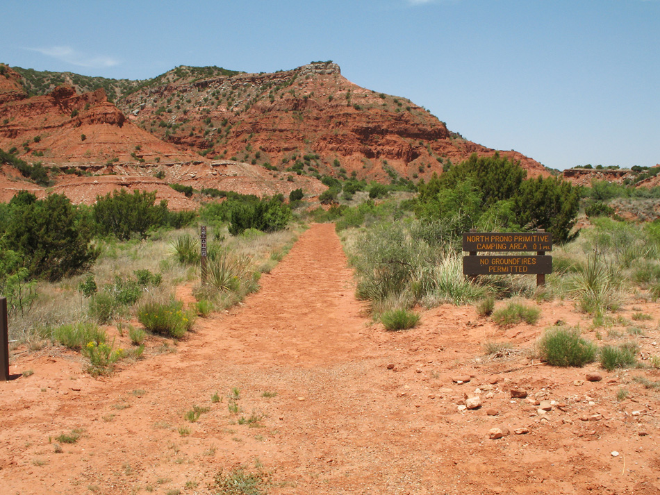
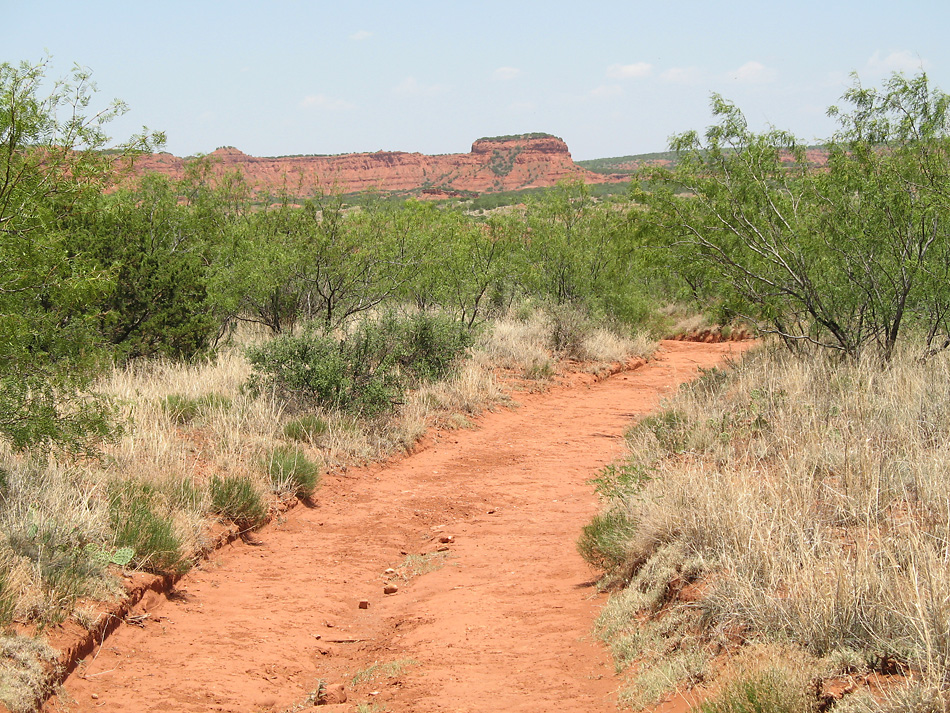
This trail leads to the North Prong primitive camping area and the trail to Haynes Ridge Overlook. We'll follow it.
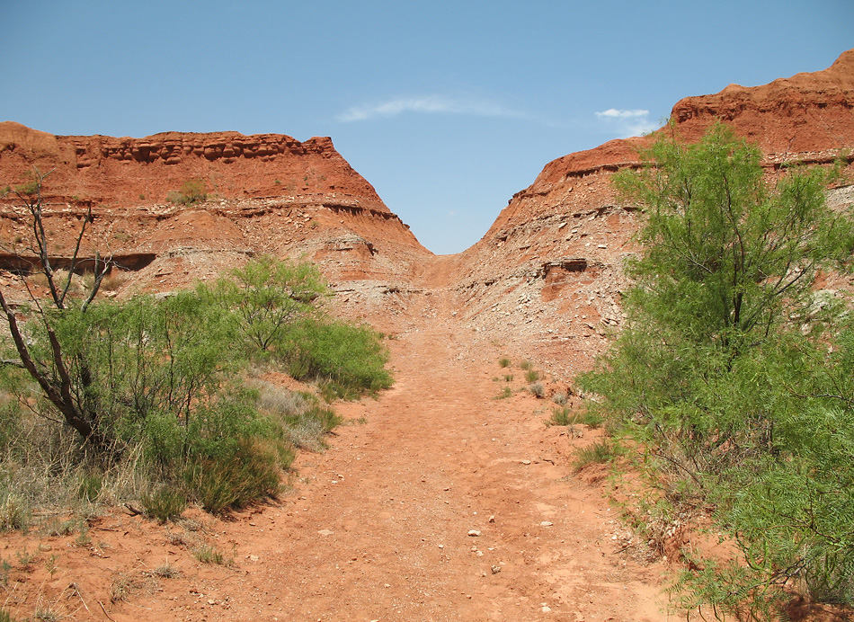
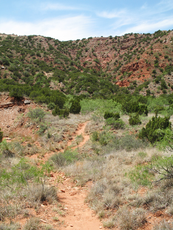
This is on the path to Haynes Overlook.
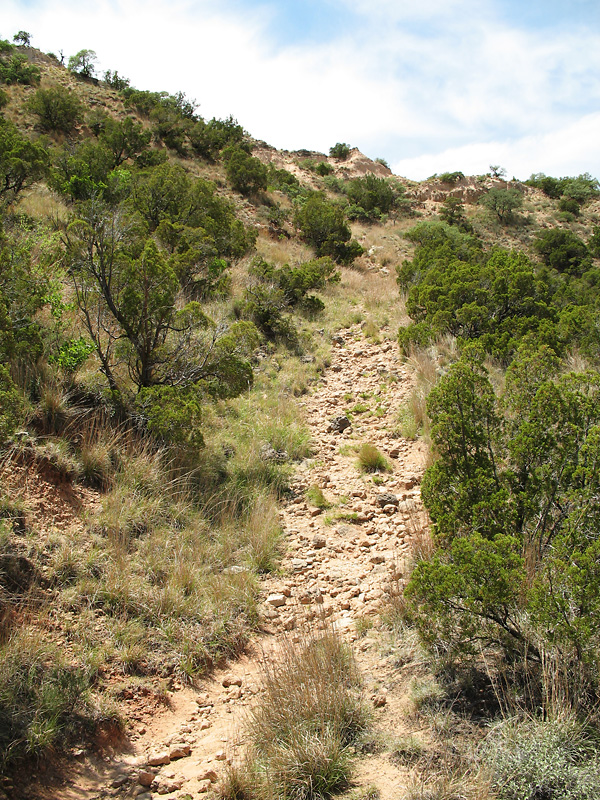
The trail was steep and rocky. I was definitely worn out when I reached the top.
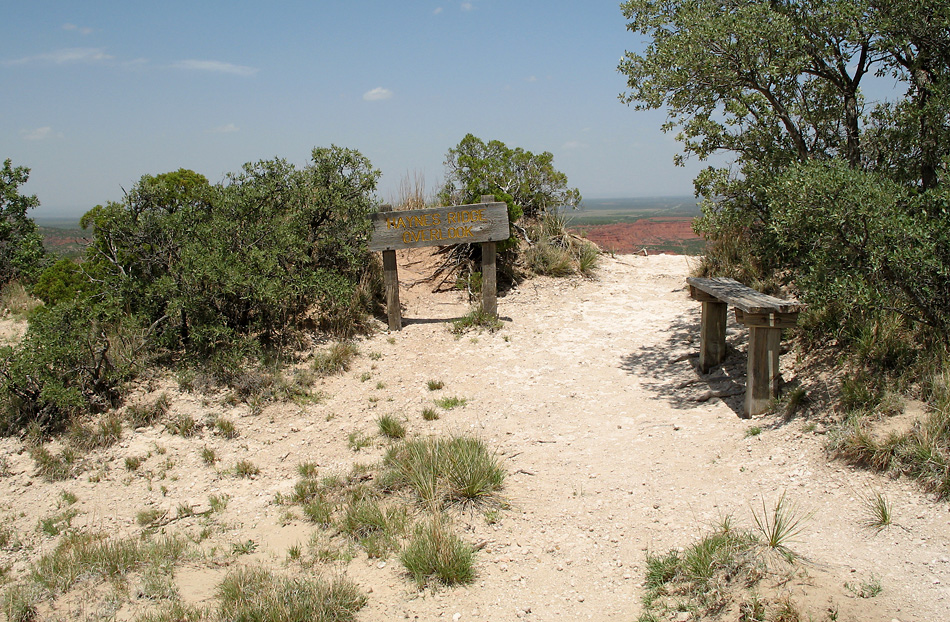
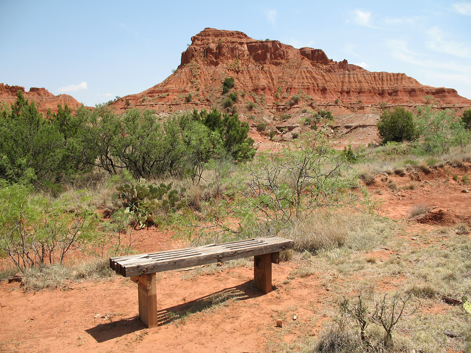
At Haynes Ridge Overlook.
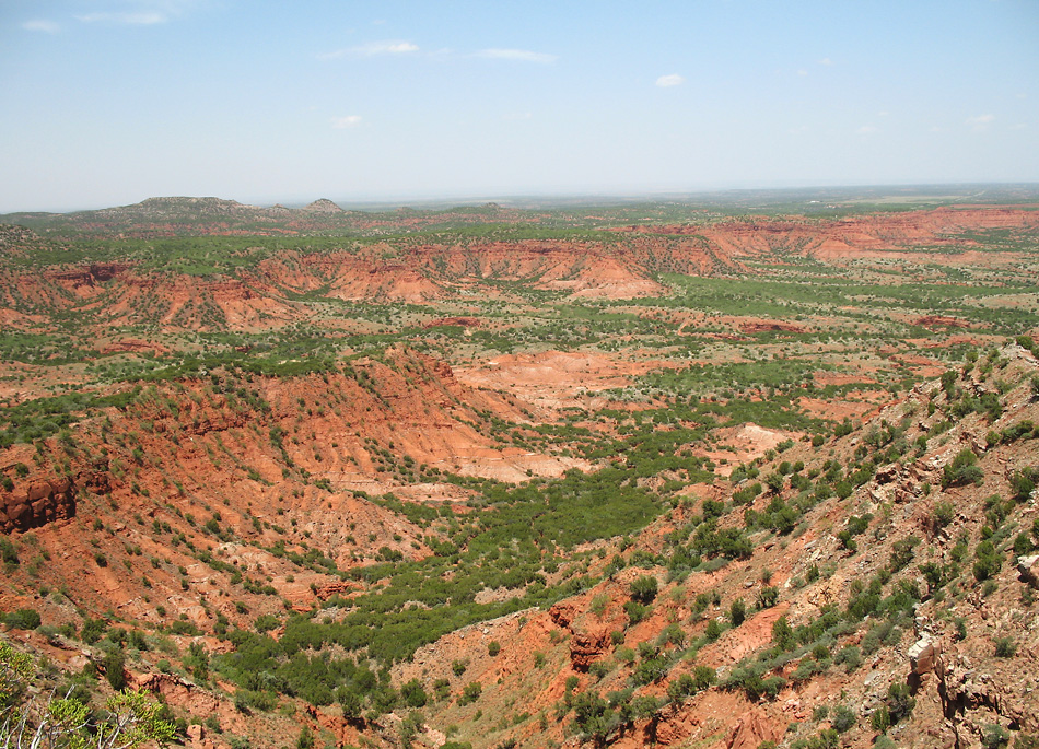
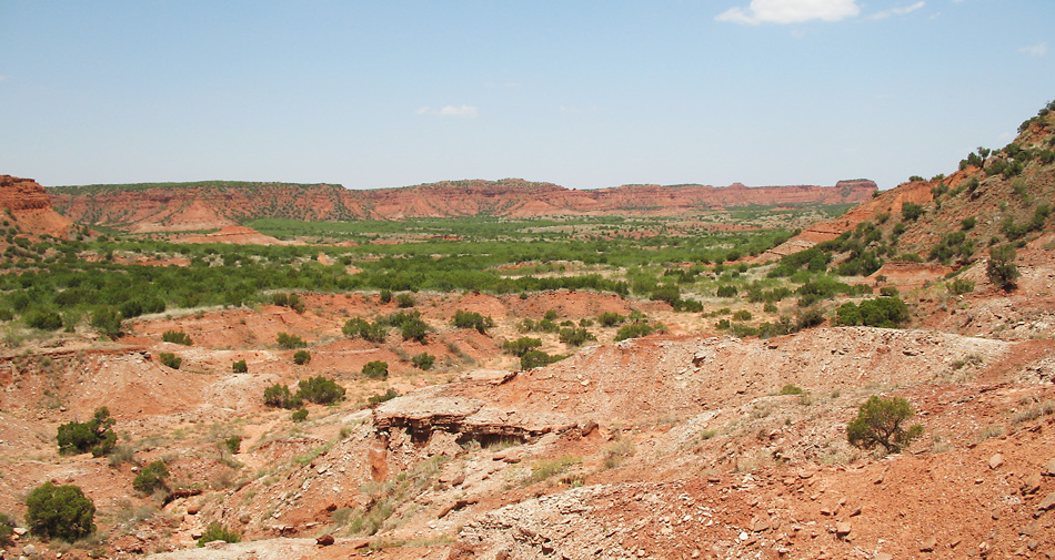
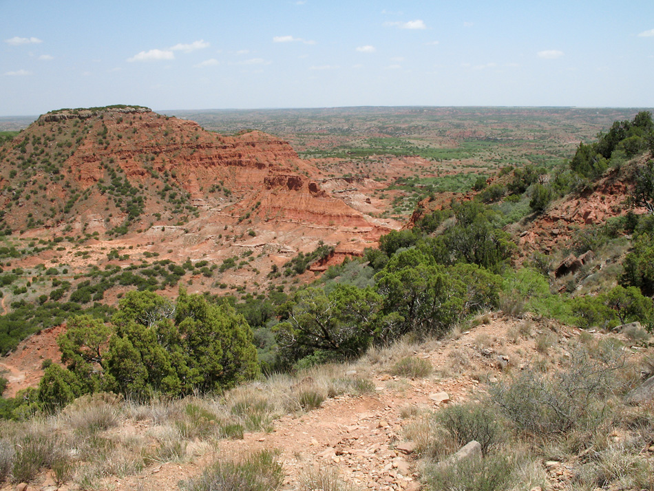
The view from Haynes Ridge Overlook.