photos taken November 24, 2006
Created 11-December-2006, last updated 17-September-2010
There is now a $5 per vehicle entry fee on weekends for everyone who is not a resident of Texas City.
I couldn't find any online history of the dike, but it was authorized by the Texas legislature in 1935 and appears to have been constructed in the subsequent years.
I also could not find any official information on its purpose. A HoustonFreeways.com reader send me a message with some information
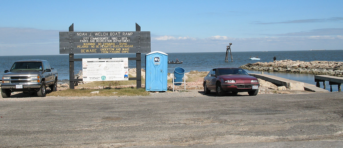
The purpose Of the Texas City Dike is to reduce the amount of sand drifting into the channel. That is where the beaches on the north side come from, they are wider than when I was in high school. Also the "old derrick" on the south side in the water is a range marker of the channel. Ships in the channel line up a low range and a high range marker to stay in the center of the channel.The Texas City Dike was severely damaged by Hurricane Ike in September 2008 and was closed to the public for two years until repairs were completed, with the reopening on 9/11/2010. The Texas City Dike is a popular destination for fishers and boaters.
These photos start at the end of the dike in the middle of the bay and proceed toward land.
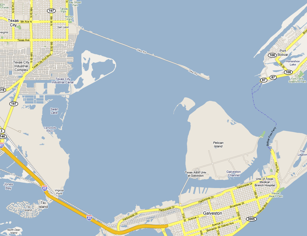
Map
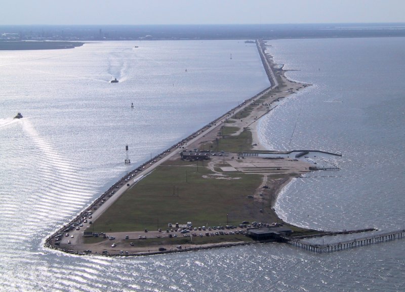
Aerial view at the end of the dike looking towards the mainland. These photos start at the tip of the dike in the foreground and
proceed toward land. This photo was taken from a thread on the Houston
Architecture forum.
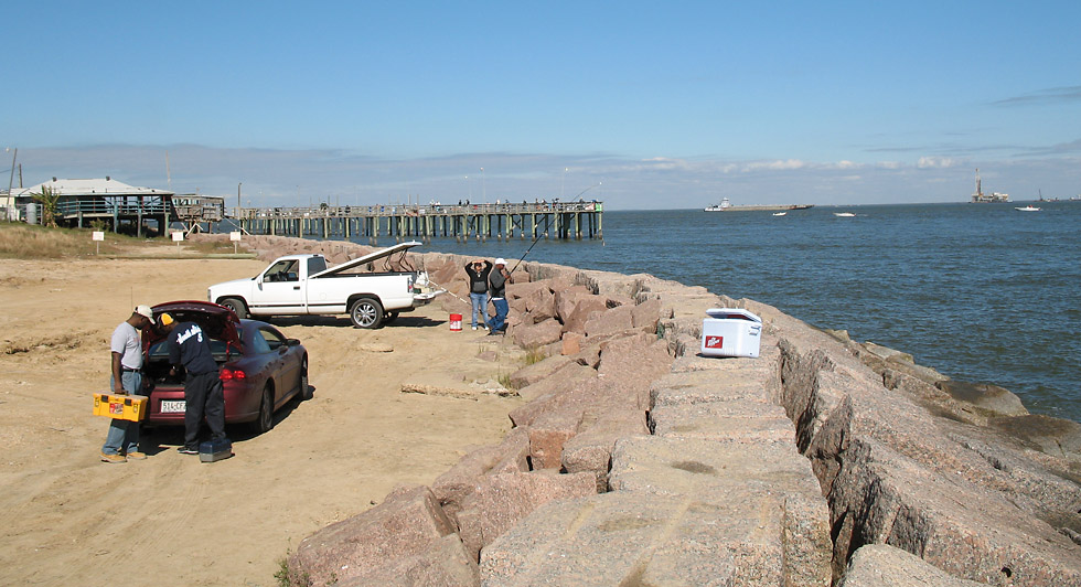
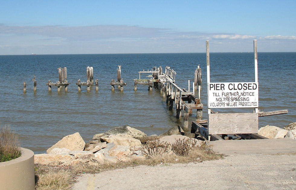
At the end of the dike looking north, showing the pier.
This is the end of the dike road.
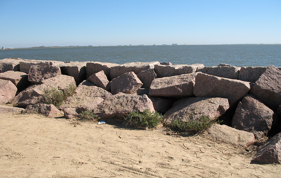
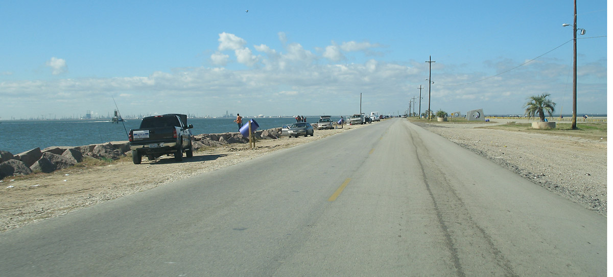
The south side of the dike is lined with large granite blocks. The south side faces the Texas City ship channel, so it probably
receives wakes from large vessels.
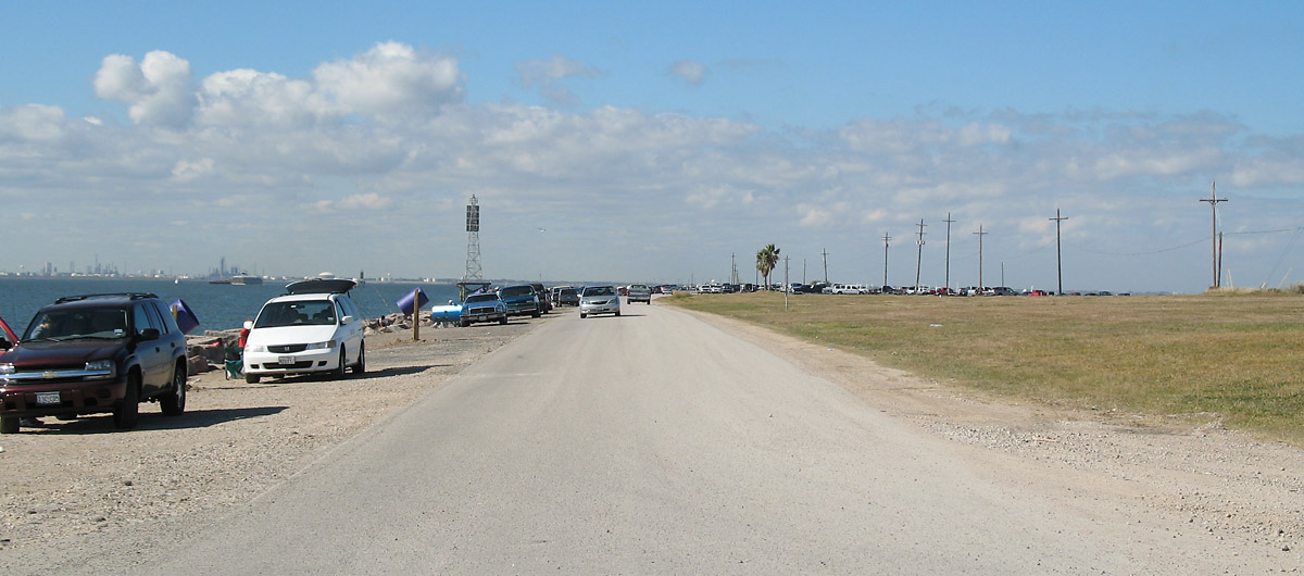
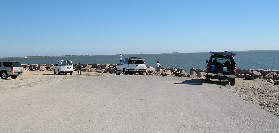
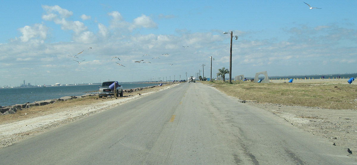
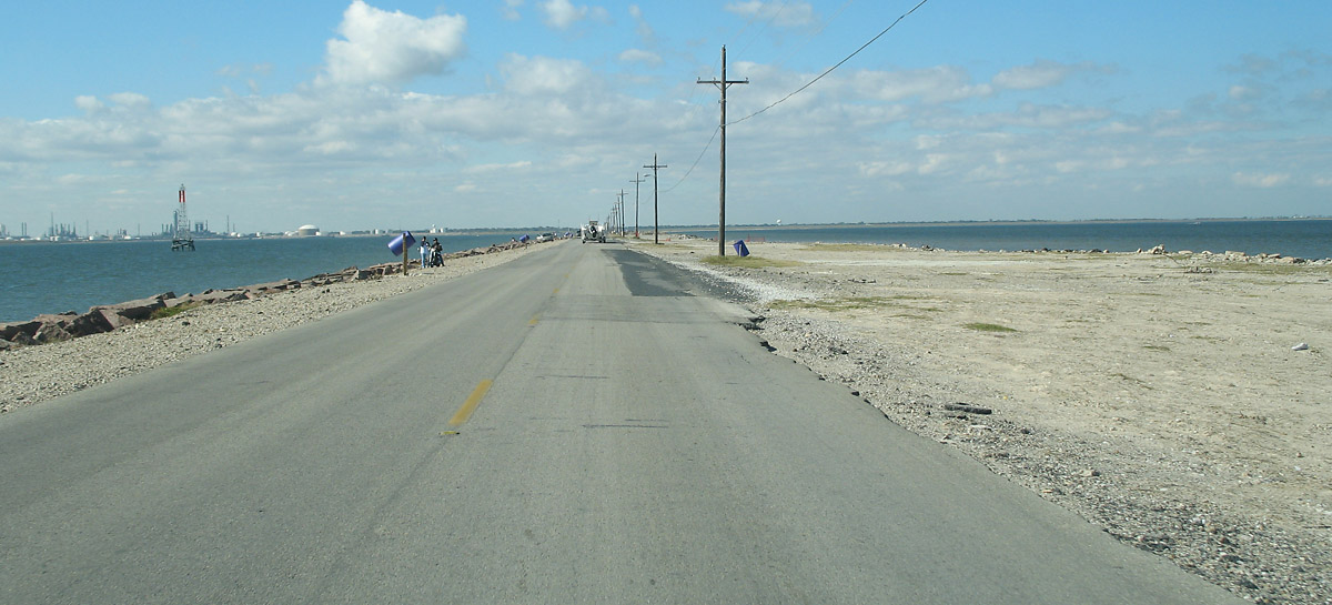
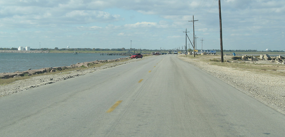
Starting toward land from the end of the dike. The direction is west-northwest.
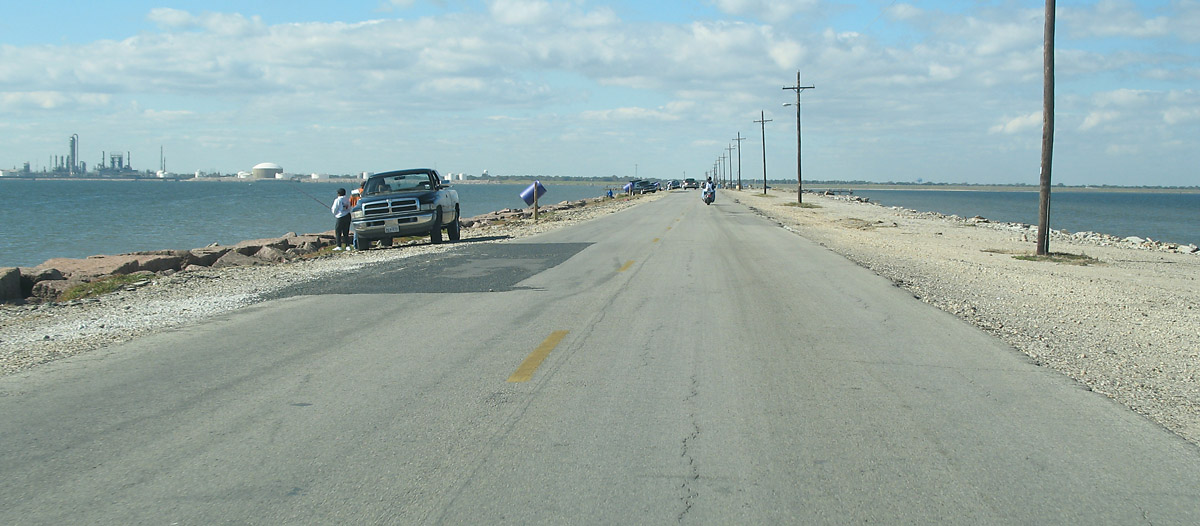
The structure in the water that looks like an old oil drilling derrick is reported by a HoustonFreeways.com reader to be a navigational
range marker, helping ships stay in the center of the shipping channel.
The parking area on the south side of the road is used by fishers.
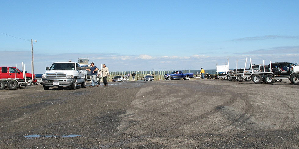
The main boat launch is on the north side of the road.
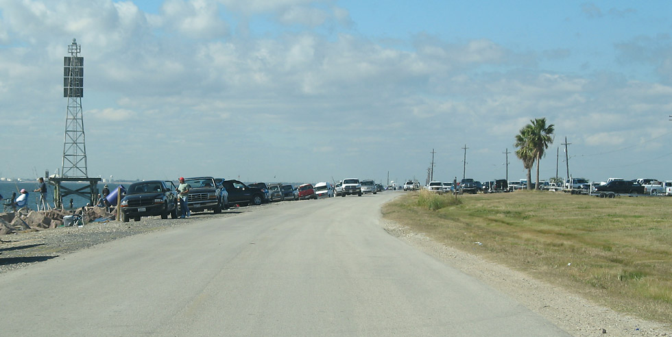
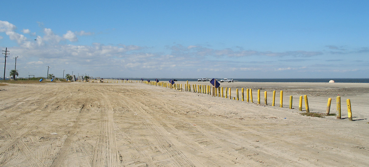
There is a sandy beach area on the north side of the road just ahead.

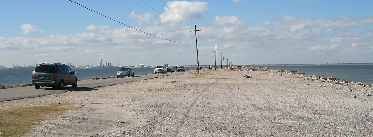
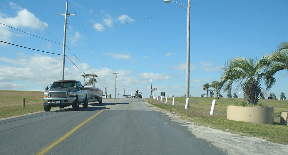
Back on the main road near the beach area.
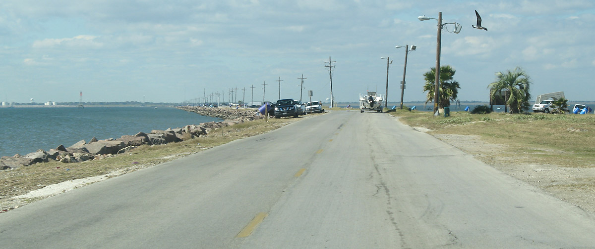
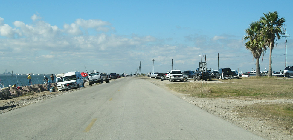
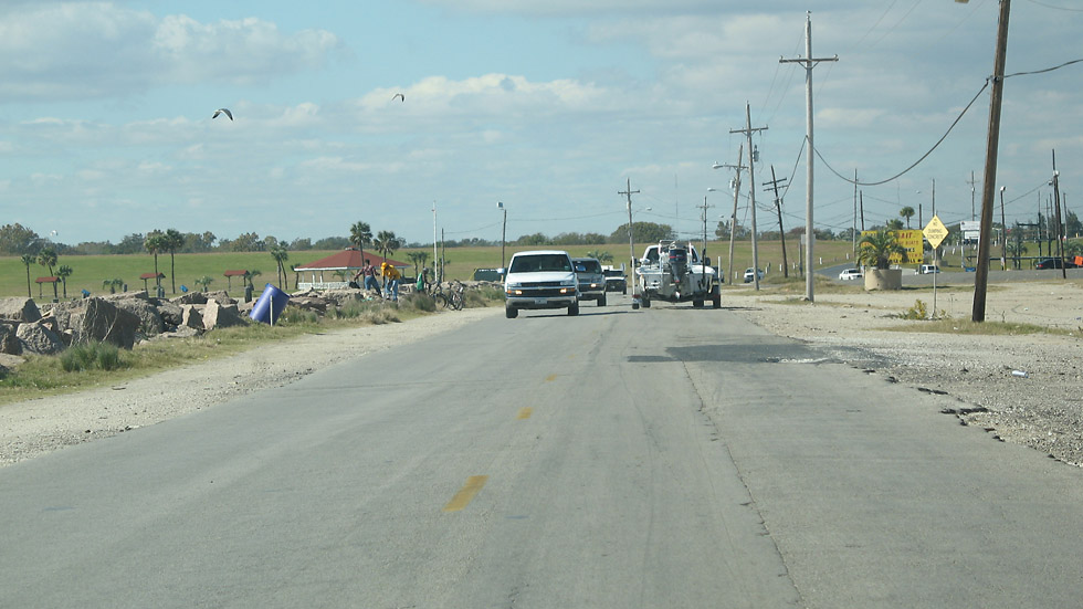
Proceeding toward Texas City.
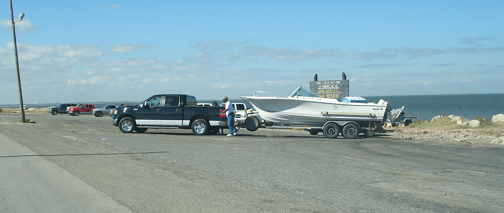
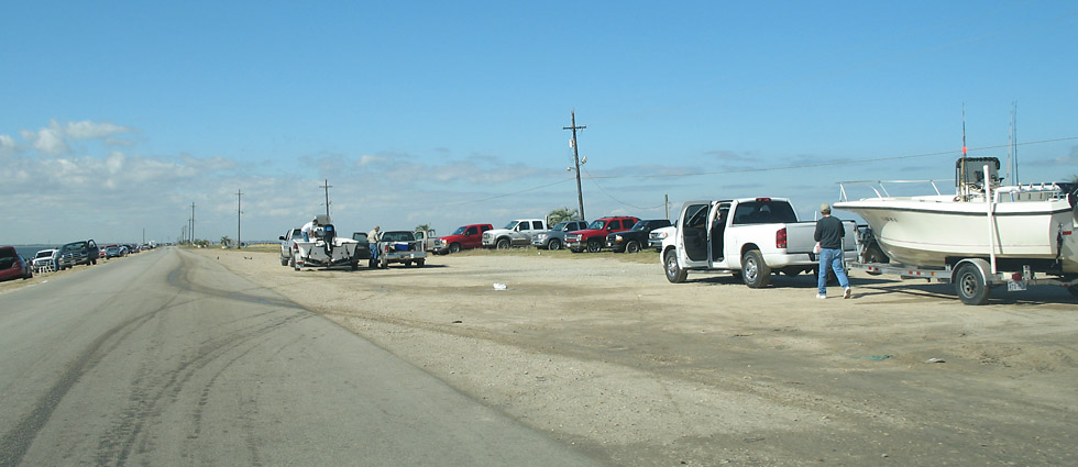
Approaching another boat ramp.
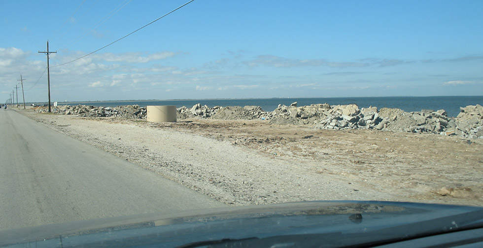
On the right there is a gravel and rock area.
An abandoned pier on the north side of the dike.
Approaching the mainland at Texas City.
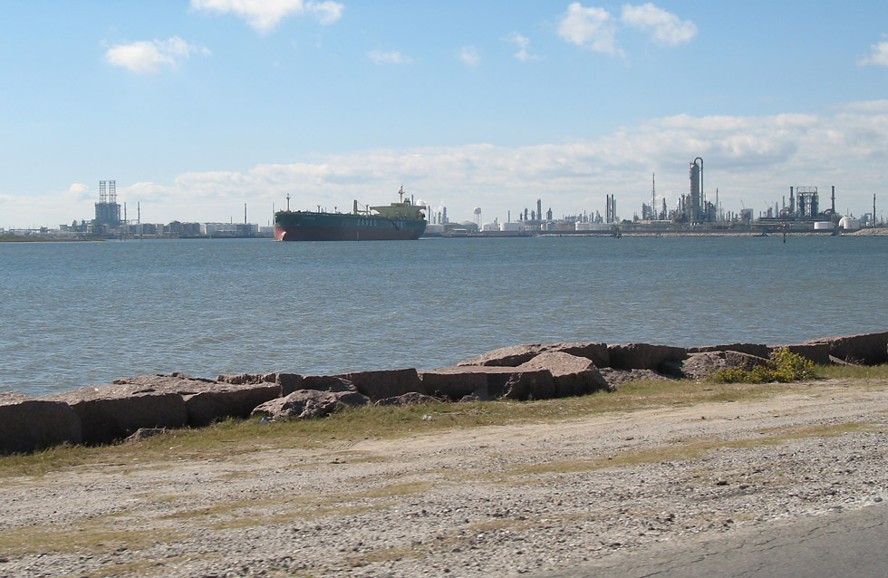
Looking southwest toward the industrial area.
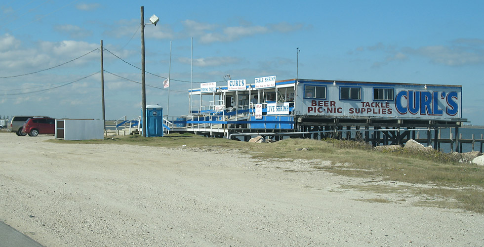
Curl's tackle shop.
Reaching the mainland.
There is a levee just as we reach the mainland.